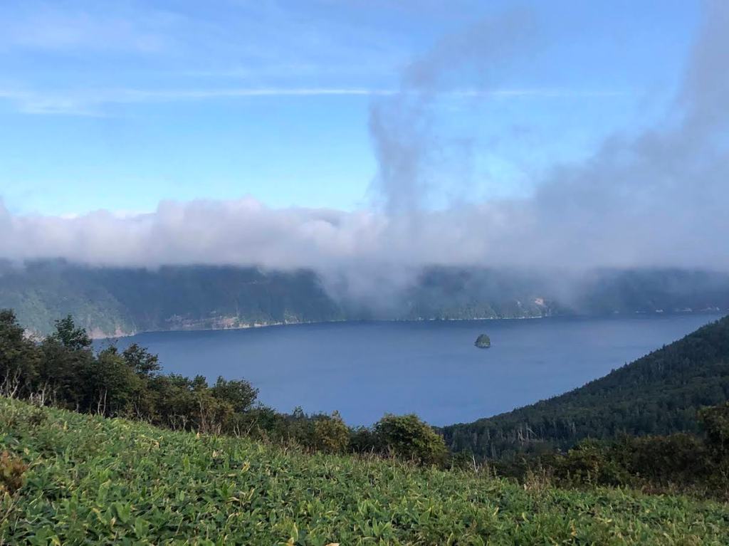
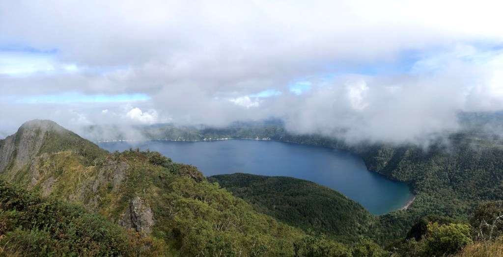
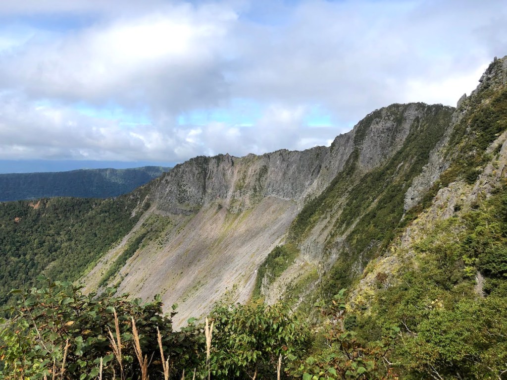
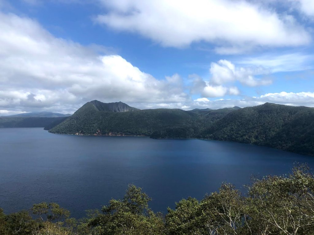
As with many mountains in Japan, there can be more than one way to call it. Mt. Mashu, or Mashu-dake 摩周岳, is also called Kamui-nupuri カムイヌプリ, which means “mountain of the gods” in Ainu, the language of the ingenious people of Hokkaido. The mountain is situated on the edge of Lake Mashu 摩周湖., a lake with beautifully blue water, which is also worth a visit, even without the goal of climbing Mashu-dake. While the whole lake was created within a large volcanic crater, Mashu-dake is basically a smaller sub-crater, not filled with water, but not less impressive.
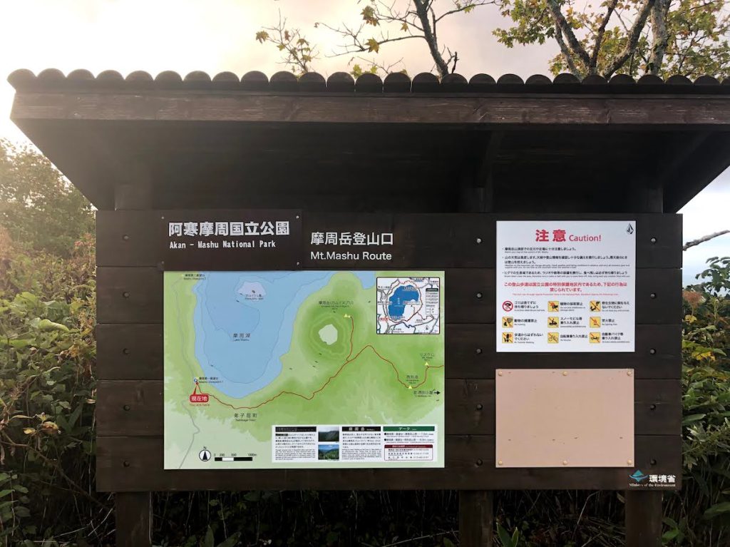
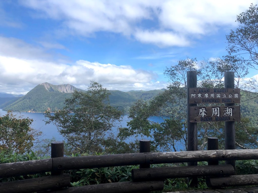
The most popular trailhead start at he first viewing platform for Lake Mashu and the Mashu-dake. It is easily reachable by car and there is also a bus station. When arriving by car, parking costs 500yen. If you arrive early morning, there is a chance that no-one will be present at the gates, but in this case, they will put a note behind the windshield wipers for you to report back to the parking lot office once you come back from the hike. If you need to rely on public transportation, there is a bus from Mashu Station 摩周駅 that goes to the first observation deck, but the times and frequencies are quite rare. Here is the schedule.
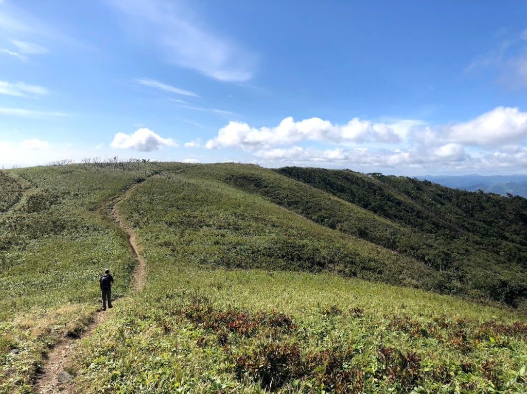
Once you enter the trailhead which begins right at the end of the viewpoint area, the majority of the trail will be rather easy and relaxing. There is not much elevation gain until the very last 400m or so. The reason for this is that you first need to walk a while around the lake to the Mashu-dake. But the trail leads you through enchanting forests and wide fields with views on both the Lake Mashu and the surrounding mountains such as Nishibetsu-dake 西別岳. About halfway through, there is another viewing platform with great views on Lake Mashu and Mashu-dake. Head further straight until you reach another junction. From here, you can take the left side right up to the summit of Mashu-dake, or take the right side to further hike to Nishibetsu-dake, which is only 2.5km away. The majority of the elevation gain happens during the last 400m of the hike, but with a total elevation gain of about 400m, this is not a difficult hike.