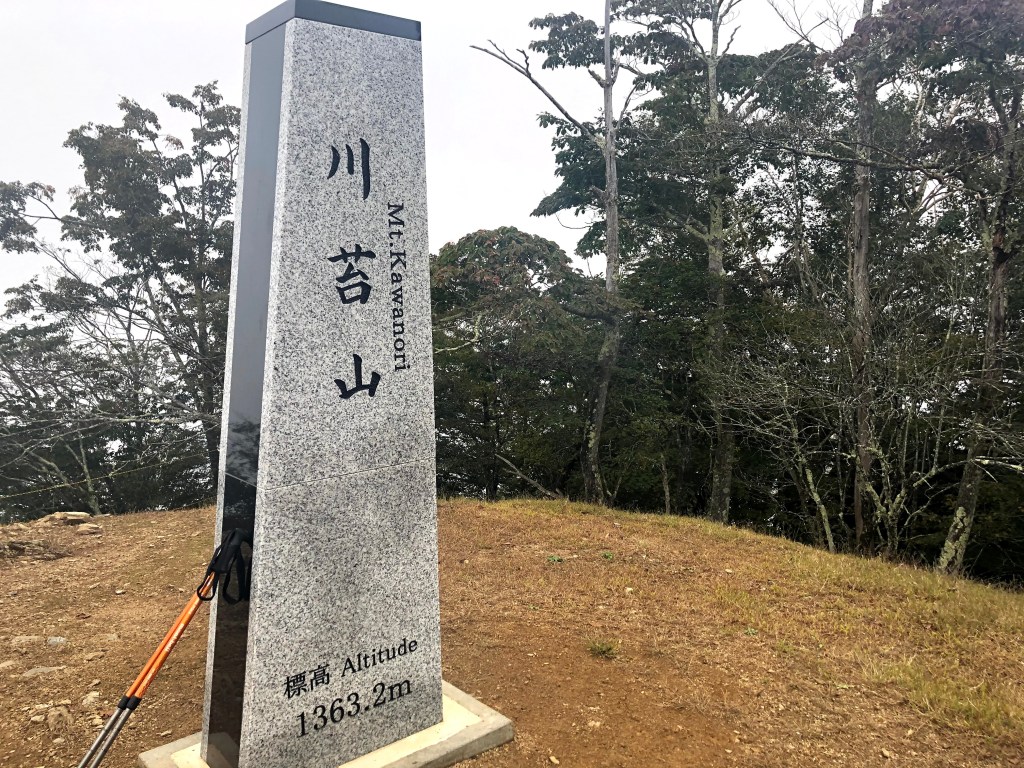
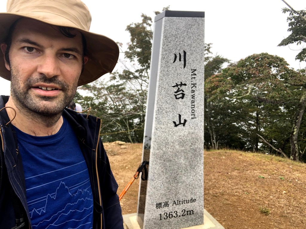
Mt. Kawanori (川苔山) is a mountain of medium height situated in the Okutama region which administered by Tokyo (東京都). The mountain’s Kanji name is written in two ways: 川苔山 and 川乗山. Both ways of writing the Kanji are used interchangeably and you will see both versions appear on maps and on signposts throughout the trail. Although I had the impression that the 川苔山 version seems a bit more common. The character 苔 (こけ, koke) means moss, which seems fitting for this environment.
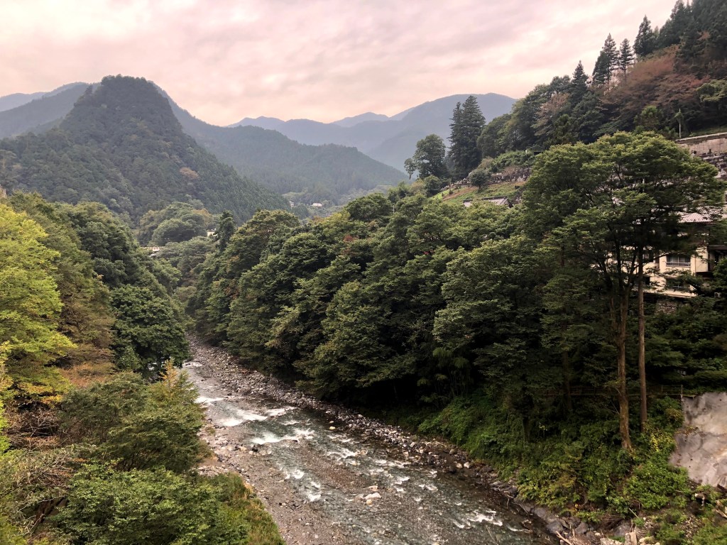
There are multiple ways to hike Mt. Kawanori. The most popular route starts at the Kawanori Bridge (川苔橋) and leads to the summit via the Kawanori valley (川苔谷) passing by the Hyakuhiro waterfall (百尋の滝). However, as of October 2020, this route is currently off limits due to heavy damages caused by the typhoon number 19 that wreaked havoc in Japan in Autumn 2019. For this reason, the buses that leave for the Kawanori Bridge also do not currently stop at the stations. You can check the current status here (in Japanese).
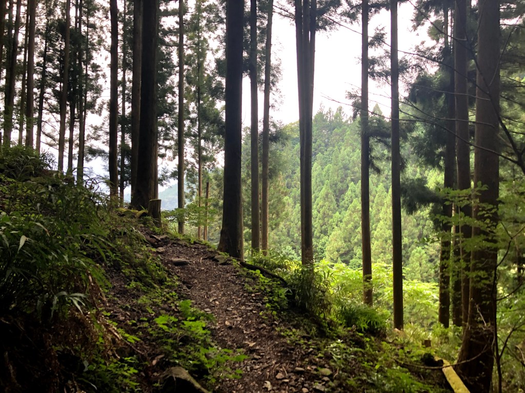
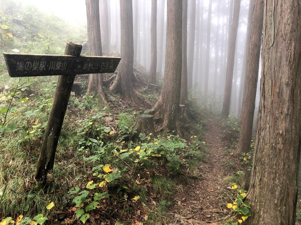
For this reason, we chose the route that starts directly at Okutama Station. When starting there, the route first leads to Mt. Honita and then over to Mt. Kawanori. The ascent however is quite steep, but not overly difficult in terms of technique needed. The descent can be done via Hatonosu Station (鳩の巣駅) or Kori Station (古里駅). The descent via Kori Station is a bit longer, but also a bit gentler on the knees. In total, I would recommend planning about 7h average for the route.


2 thoughts on “Kawanori-yama / 川苔山”