| Hoehe: | 561m |
| Anfahrt: | Otsuki Station (JR Chuo Main Line) / 大月駅(JR中央本線) |

| Hoehe: | 561m |
| Anfahrt: | Otsuki Station (JR Chuo Main Line) / 大月駅(JR中央本線) |
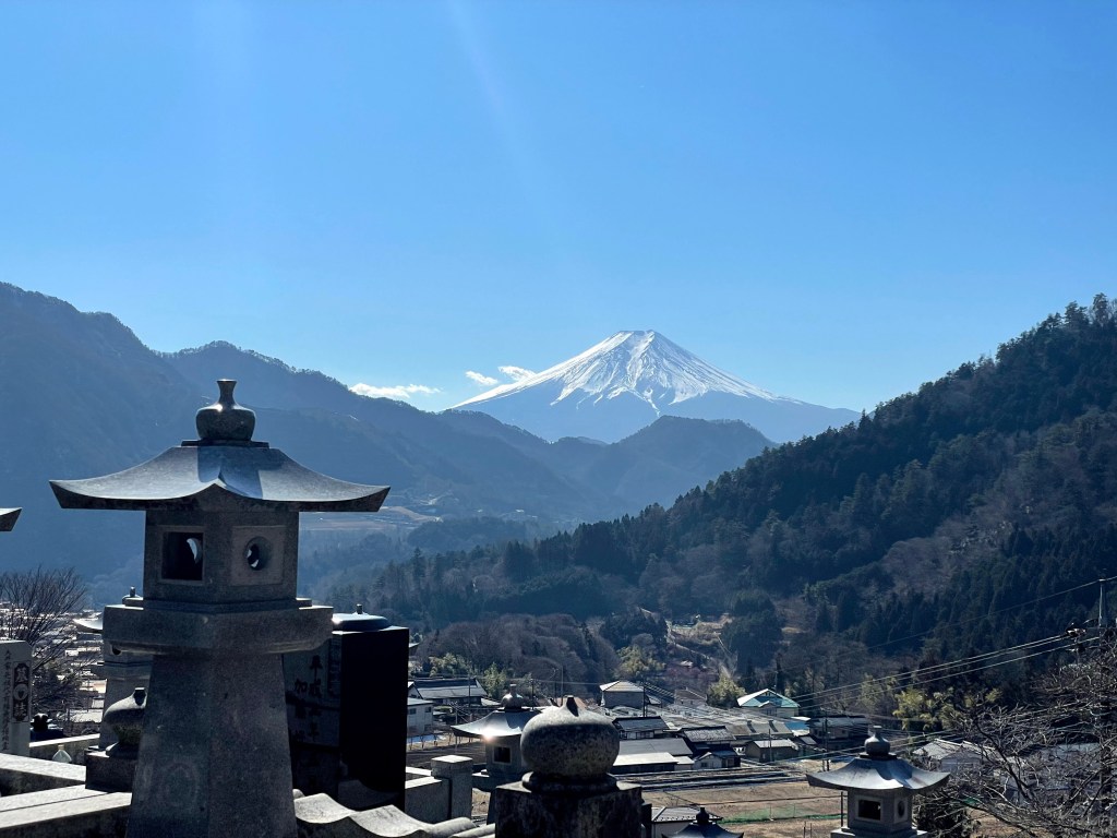
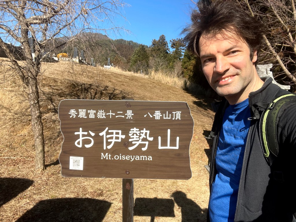
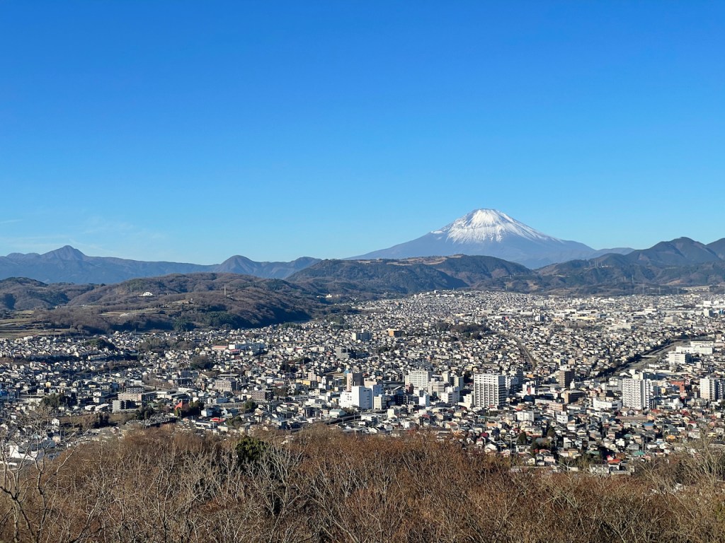
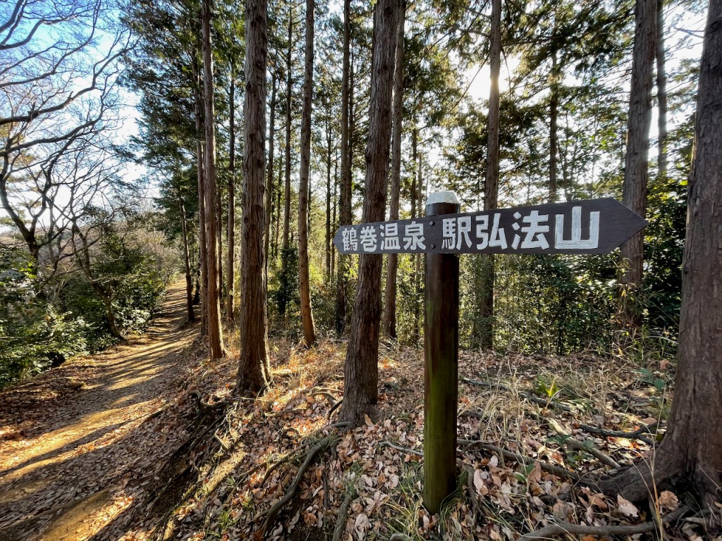
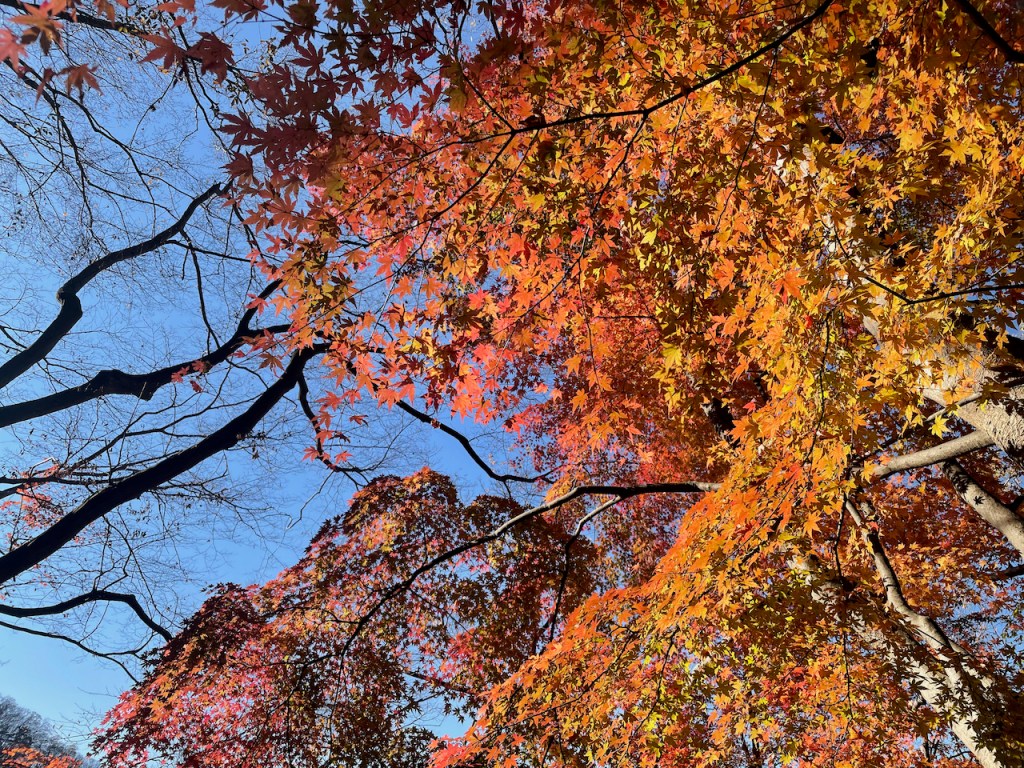
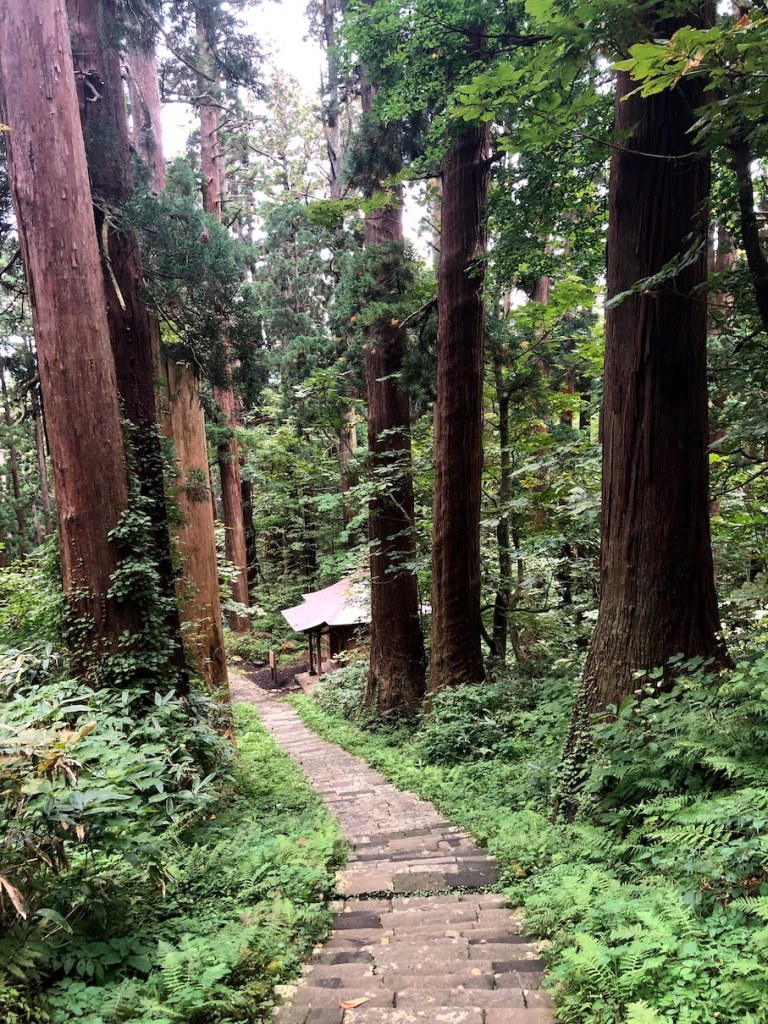
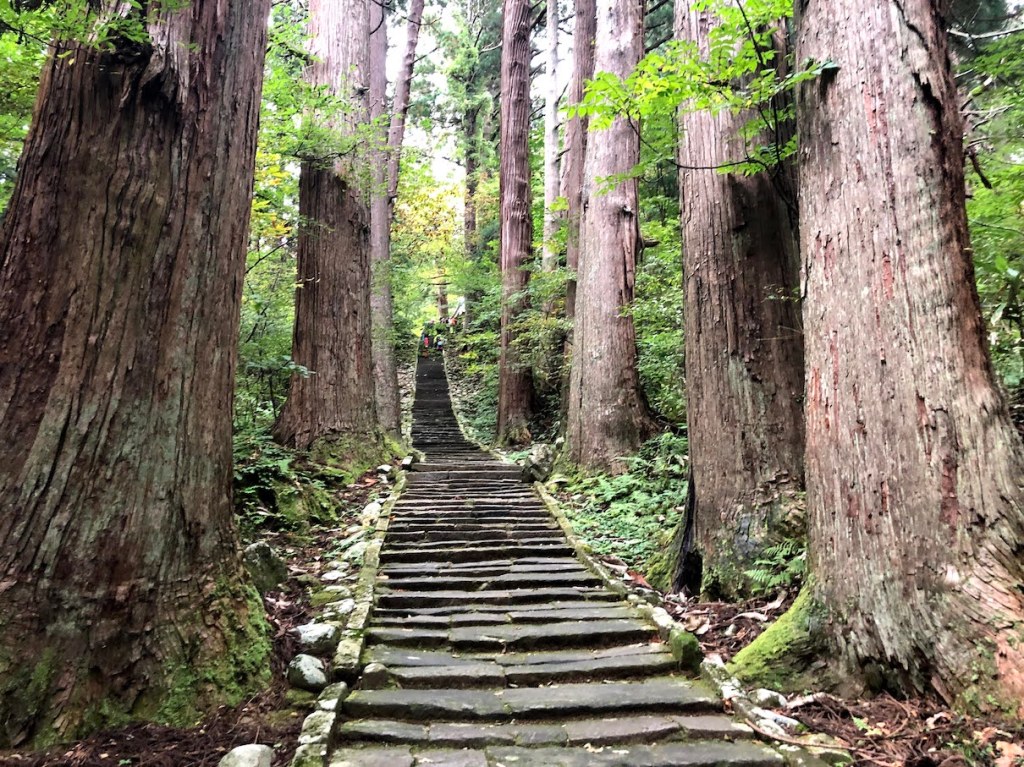
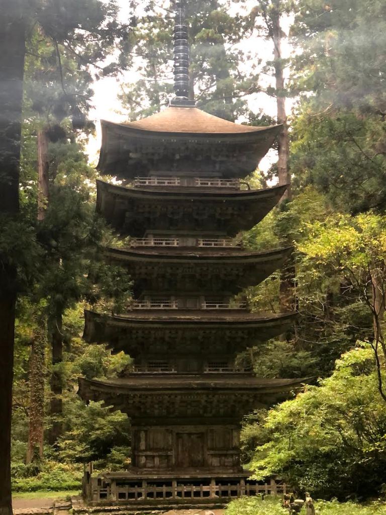
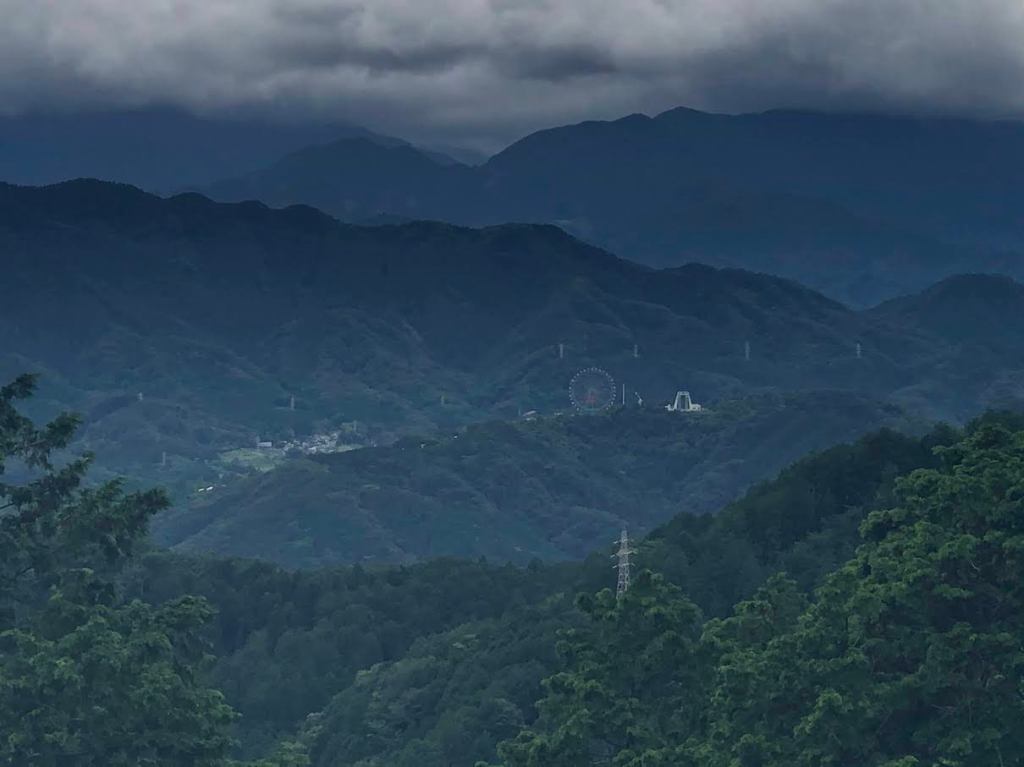
Kobo-yama 弘法山 ist ein kleiner Berg (manche wuerden ihn vielleicht eher Huegel nennen) in der naehe der Stadt Hadano 秦野 in der japanischen Provinz Kanagawa 神奈川県. Der Kobo-yama Park erstreckt sich ueber mehrere Spitzen der gleichen Erhebung, namens Asama-yama 浅間山, Gongen-yama 権現山, Kobo-yama 弘法山, und Azuma-yama 吾妻山. Die meisten dieser Bergnamen kommen vielfach vor in Japan in allen moeglichen Gegenden und Hoehen. Allein Gongen-yama 権現山 gibt es sogar mehrfach mit Fuji-Blick. Der Kobo-yama liegt dabei im Schatten seiner etwas bekannteren grossen Brueder des Tanzawa-Gebirges 丹沢主脈 (Nabewari-yama 鍋割山, To-no-dake 塔ノ岳, sowie dem O-yama 大山).
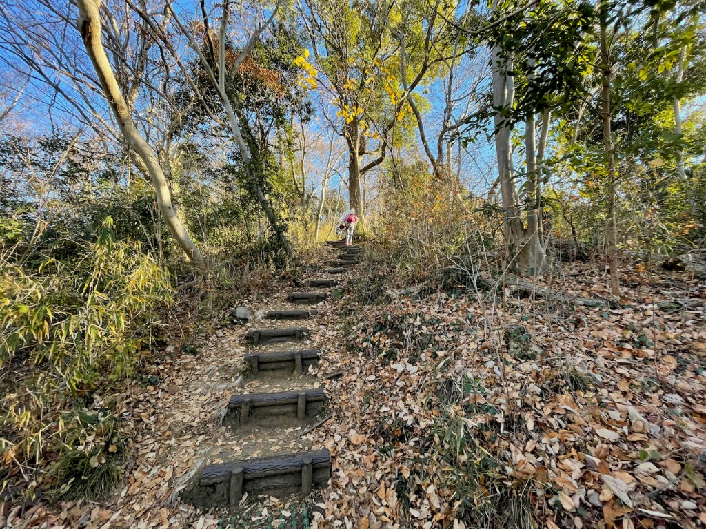
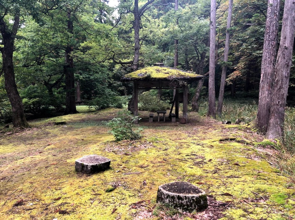
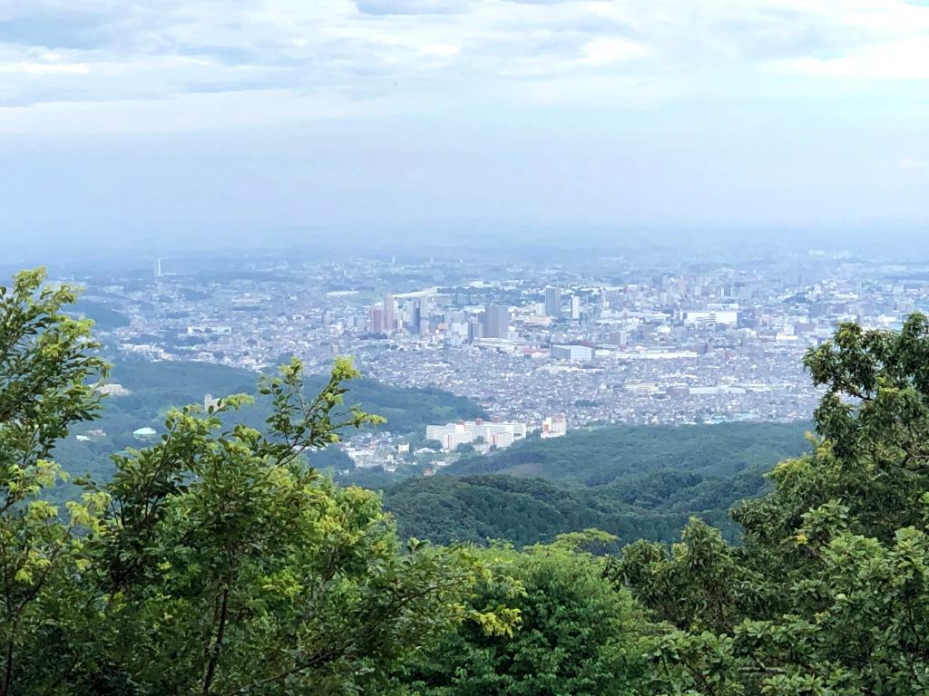
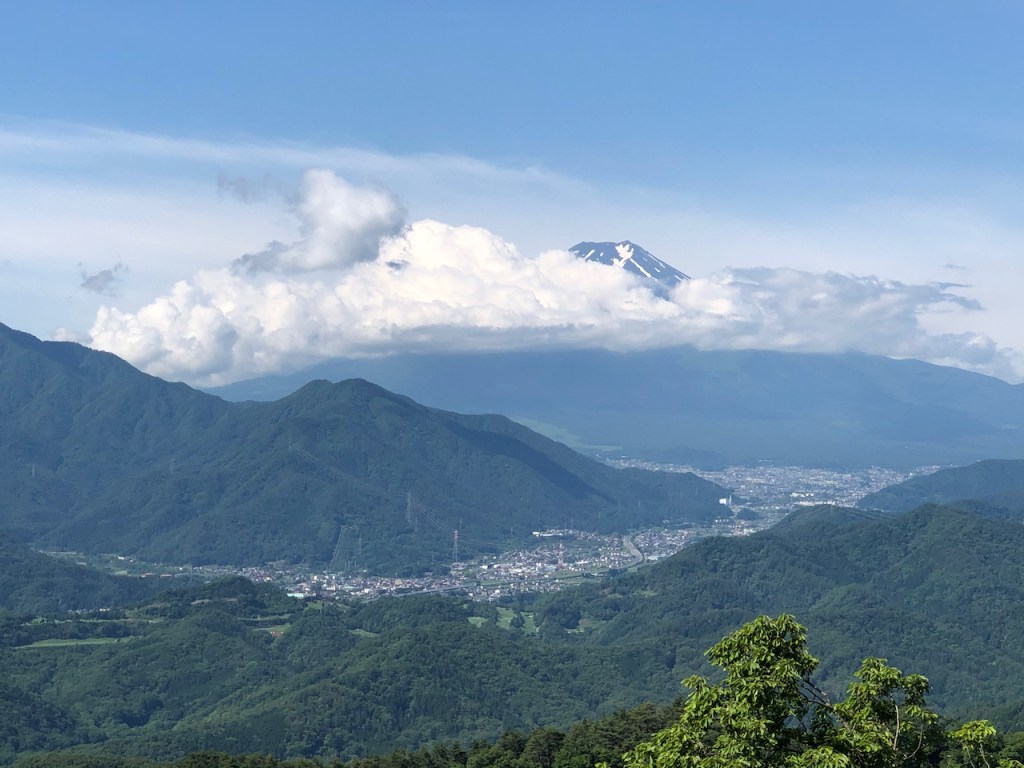
Der Kobo-yama ist ein sehr einfacher Hike und in weniger als 3 Stunden von Hadano Station 秦野駅 nach Tsurumaki-Onsen 鶴巻温泉 zu schaffen (oder andersherum). Sollte man in ein Onsen springen wollen nach dem Wandern, so wuerde ich die Route von Hadano-eki 秦野駅 empfehlen. Besonders im Hochsommer (September/August) wird man wohl trotz Einfachheit des Hikes sehr durchschwitzt sein. Ich entschied mich den Hike fuer einen kurzen Neujahrsausflug mit meiner Frau. Da man von der Spitze des Gongen-yama 権現山 auch wunderbar den Fuji-san 富士山 sehen kann, eignet sich die Route auch wunderbar zum ersten Blick auf den Fuji im Neuen Jahr 初富士見.
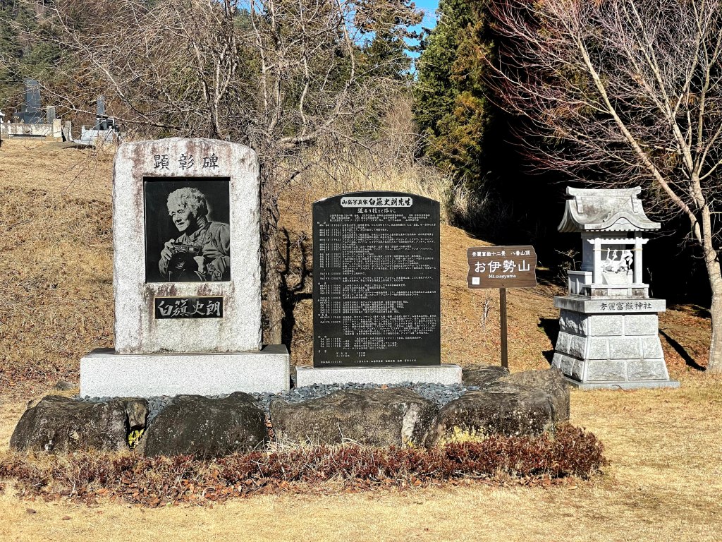
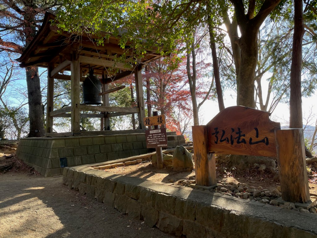
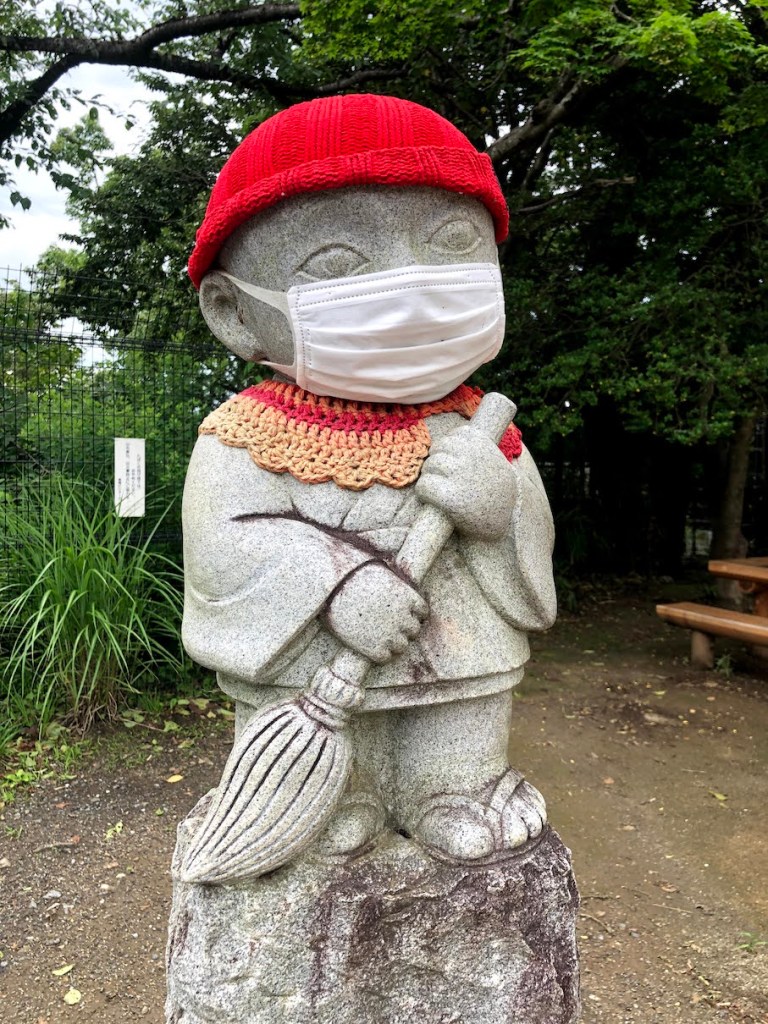
Den Namen Kobo-yama 弘法山 uebrigens traegt der Berg da nach der Legende nach der bekannte Japanische Moench Kukai 空海 (auch Kobo-Daishi 弘法大師 genannt) dort wohl lange Zeit trainiert hat. Kukai war instrumental fuer die Verbreitung des Shingon Buddhismus in Japan, dessen Lehre er aus seinen Reisen nach China mit nach Japan gebracht hat.
| Hoehe: | 235m |
| Anfahrt: | Hadano Station (Odakyu-Line) / 秦野駅(小田急線) |


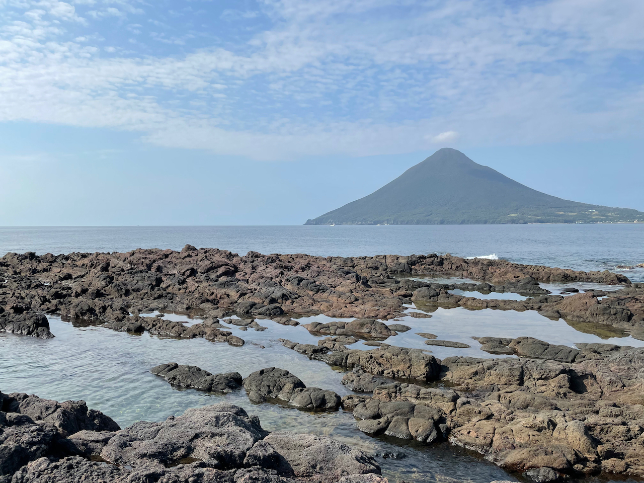
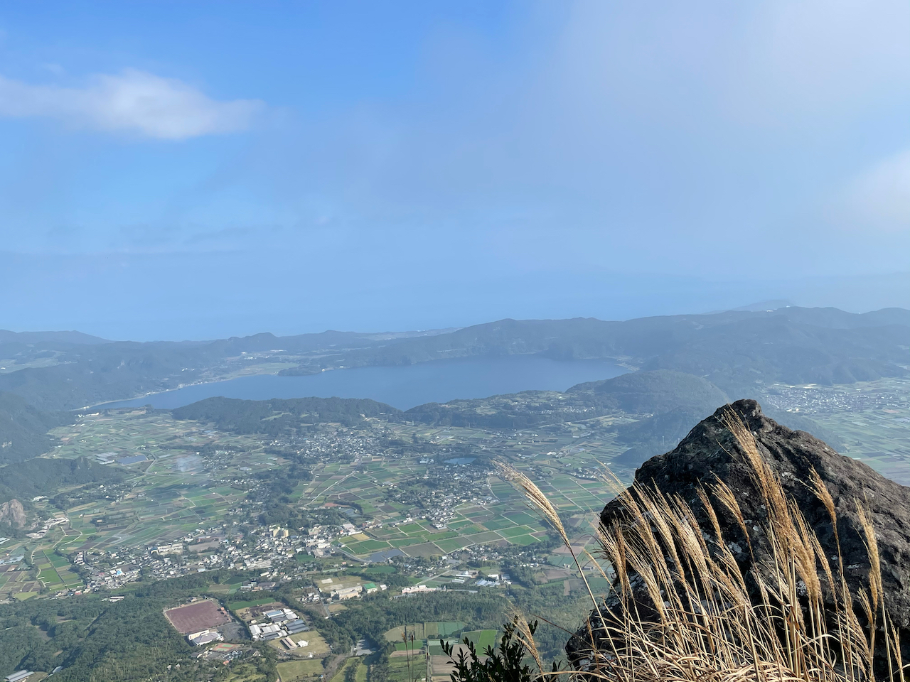
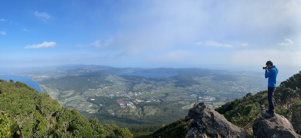
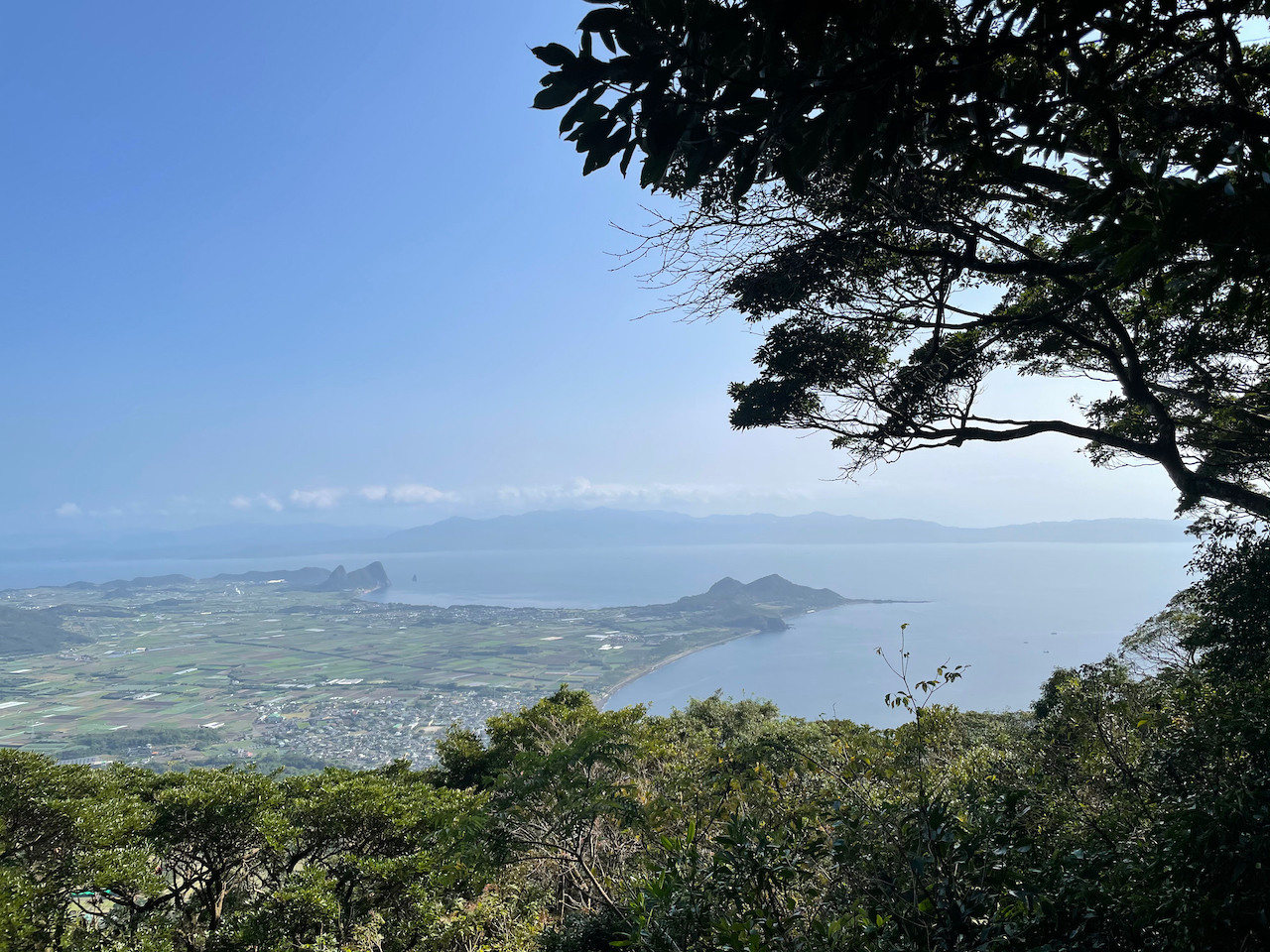
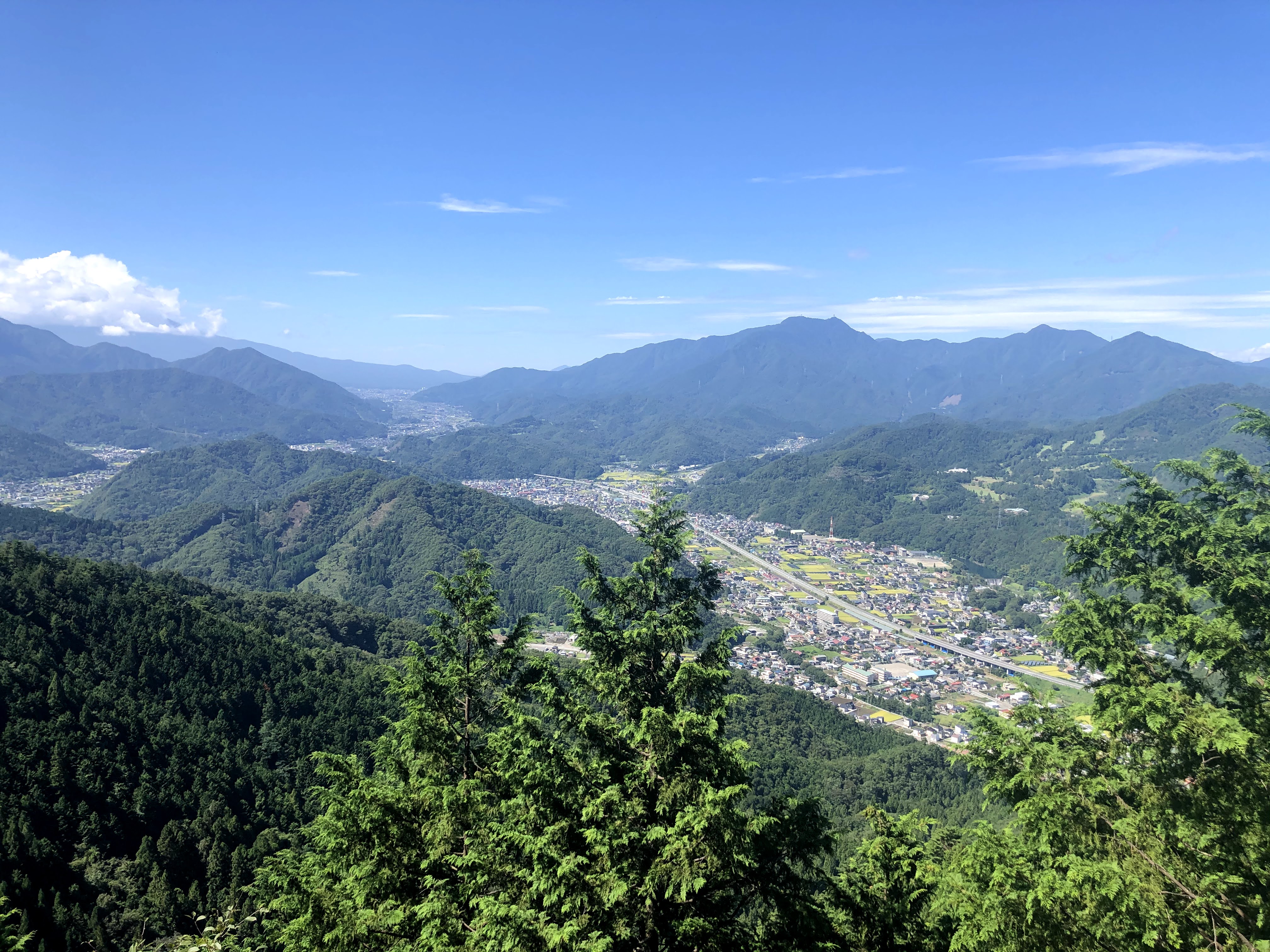
Der Kaimon-dake 開聞岳 war schon laenger auf meiner Bucket List. Mit gerade einmal 924m Hoehe ist er einer der kleineren 100 Meizan (der andere unter 1000m ist der Tsukuba-san im Norden Tokyos).
Trotz seiner “kleineren” Statur sticht der Kaimon-dake sehr stark aus der Landschaft als einzige hoehere Erhebung am suedlichsten Zipfel Kyushus. Direkt am Wasser gelegen, ist das Klima entsprechend subtropisch und auch Ende November war es noch reichlich schwuel beim Aufstieg durch den Wald.
Durch die wohlgeformte Schichtvulkan-Figur nennt man den Vulkan auch Satsuma-Fuji 薩摩富士, gemaess der Satsuma Provinz im alten feudalen Japan.


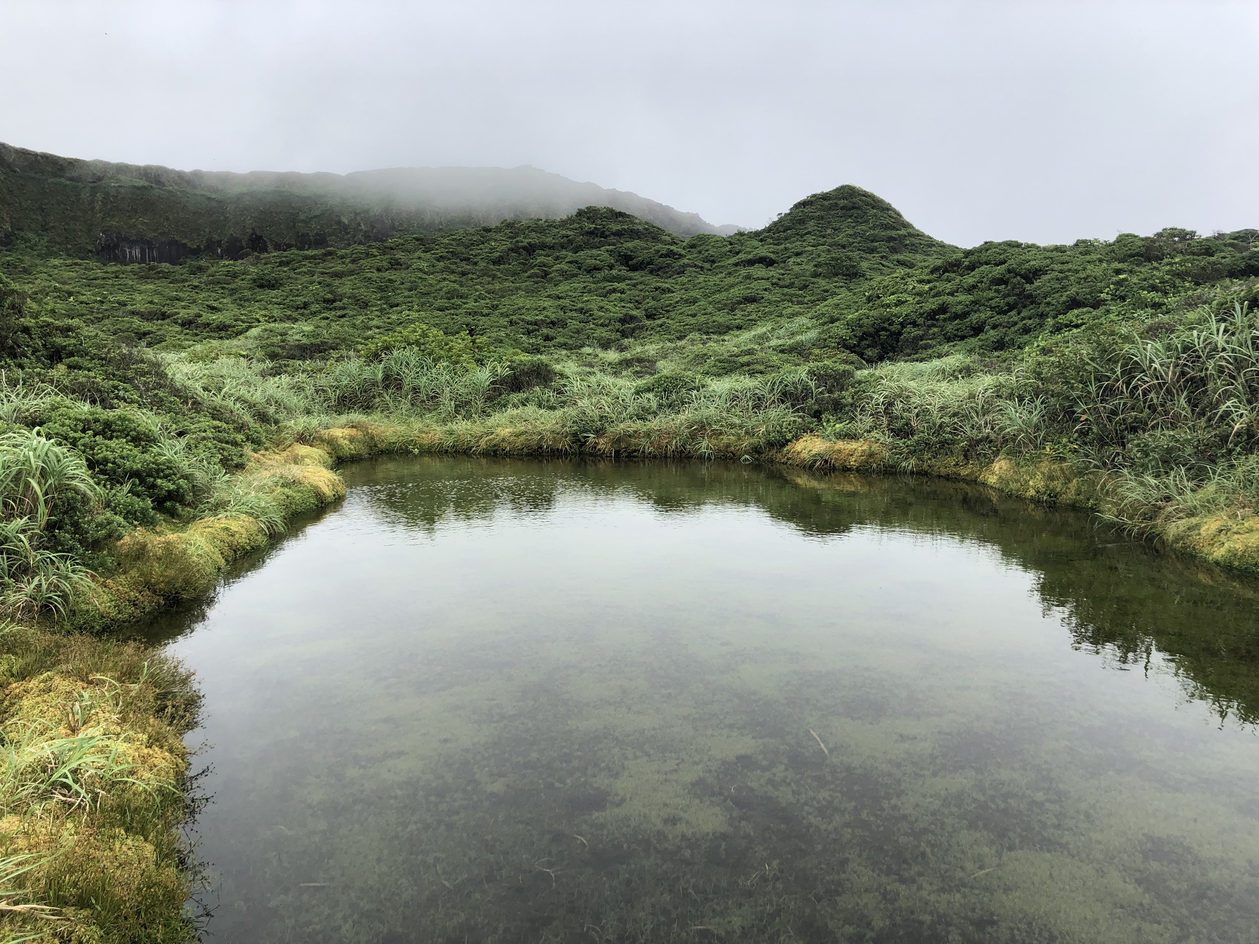
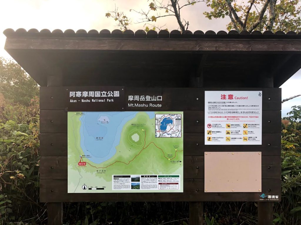
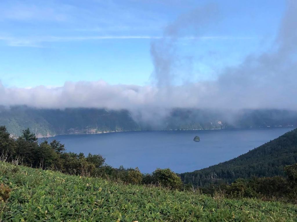
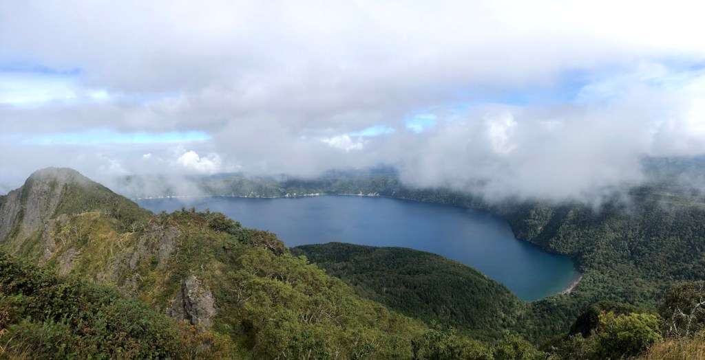
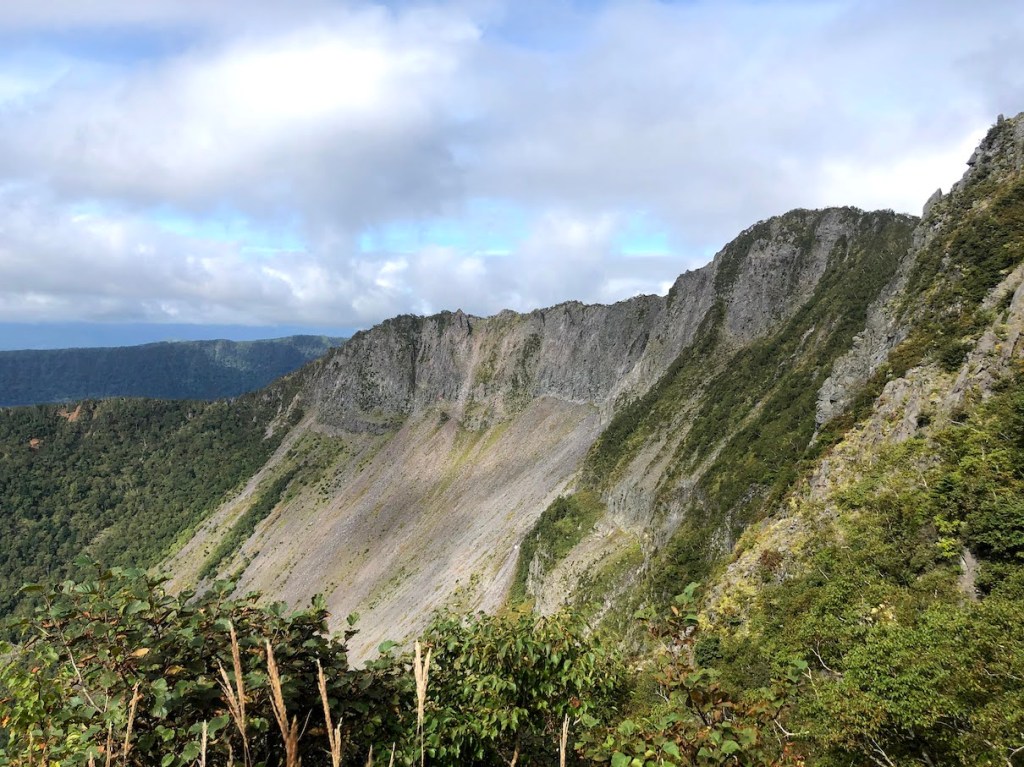
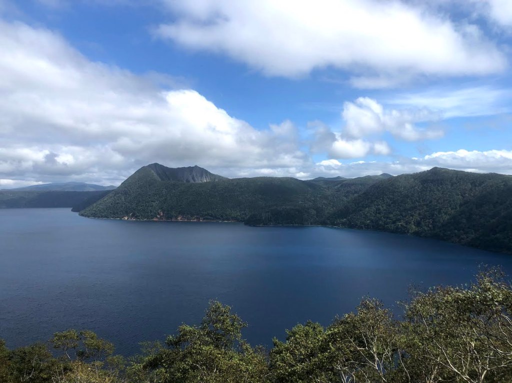
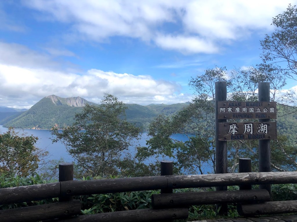
As with many mountains in Japan, there can be more than one way to call it. Mt. Mashu, or Mashu-dake 摩周岳, is also called Kamui-nupuri カムイヌプリ, which means “mountain of the gods” in Ainu, the language of the ingenious people of Hokkaido. The mountain is situated on the edge of Lake Mashu 摩周湖., a lake with beautifully blue water, which is also worth a visit, even without the goal of climbing Mashu-dake. While the whole lake was created within a large volcanic crater, Mashu-dake is basically a smaller sub-crater, not filled with water, but not less impressive.
The most popular trailhead start at he first viewing platform for Lake Mashu and the Mashu-dake. It is easily reachable by car and there is also a bus station. When arriving by car, parking costs 500yen. If you arrive early morning, there is a chance that no-one will be present at the gates, but in this case, they will put a note behind the windshield wipers for you to report back to the parking lot office once you come back from the hike. If you need to rely on public transportation, there is a bus from Mashu Station 摩周駅 that goes to the first observation deck, but the times and frequencies are quite rare. Here is the schedule.
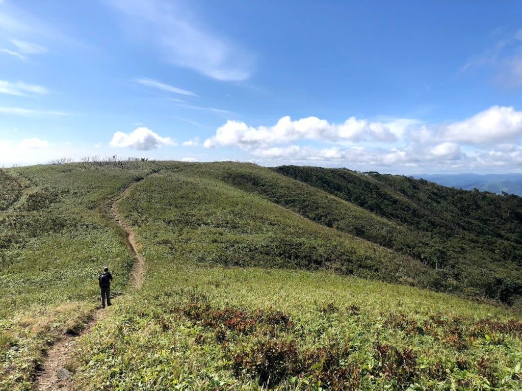
Once you enter the trailhead which begins right at the end of the viewpoint area, the majority of the trail will be rather easy and relaxing. There is not much elevation gain until the very last 400m or so. The reason for this is that you first need to walk a while around the lake to the Mashu-dake. But the trail leads you through enchanting forests and wide fields with views on both the Lake Mashu and the surrounding mountains such as Nishibetsu-dake 西別岳. About halfway through, there is another viewing platform with great views on Lake Mashu and Mashu-dake. Head further straight until you reach another junction. From here, you can take the left side right up to the summit of Mashu-dake, or take the right side to further hike to Nishibetsu-dake, which is only 2.5km away. The majority of the elevation gain happens during the last 400m of the hike, but with a total elevation gain of about 400m, this is not a difficult hike.


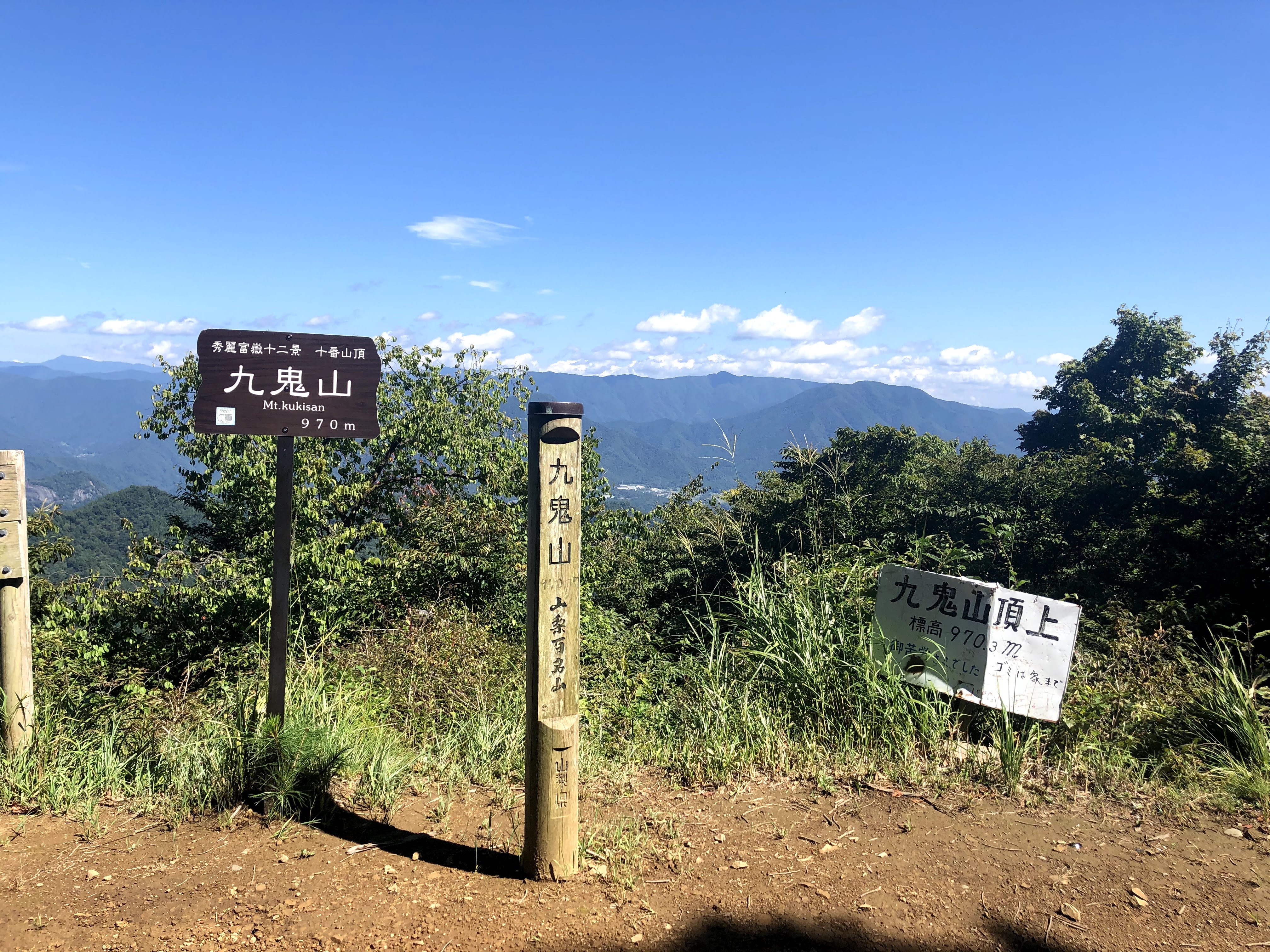
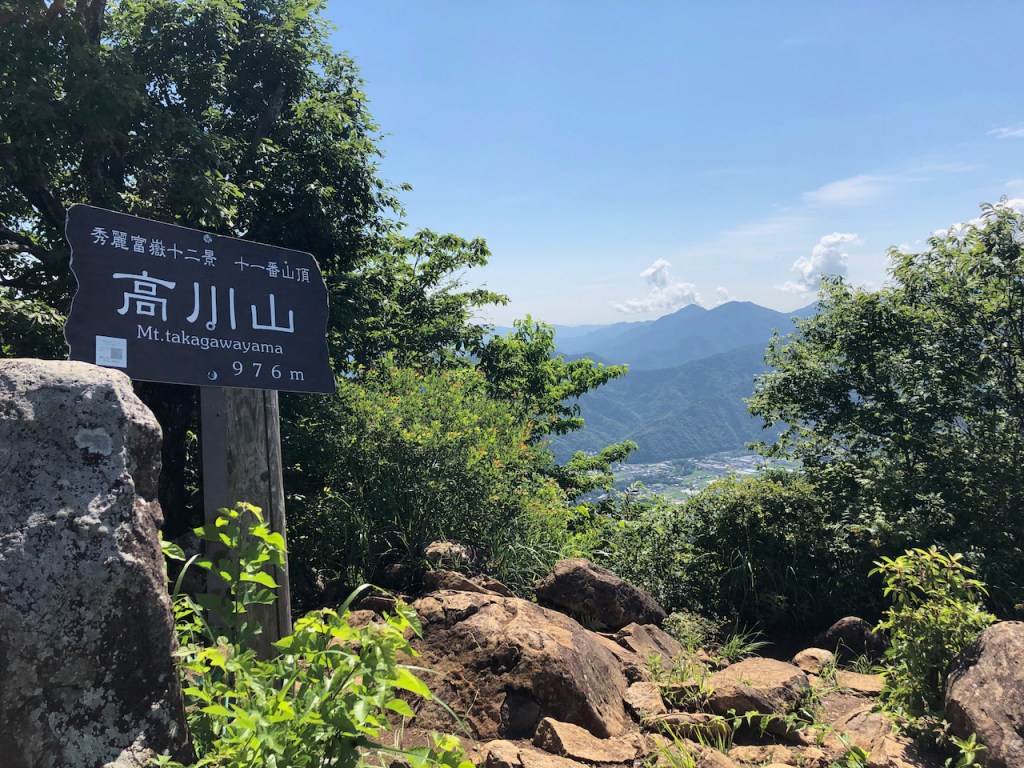
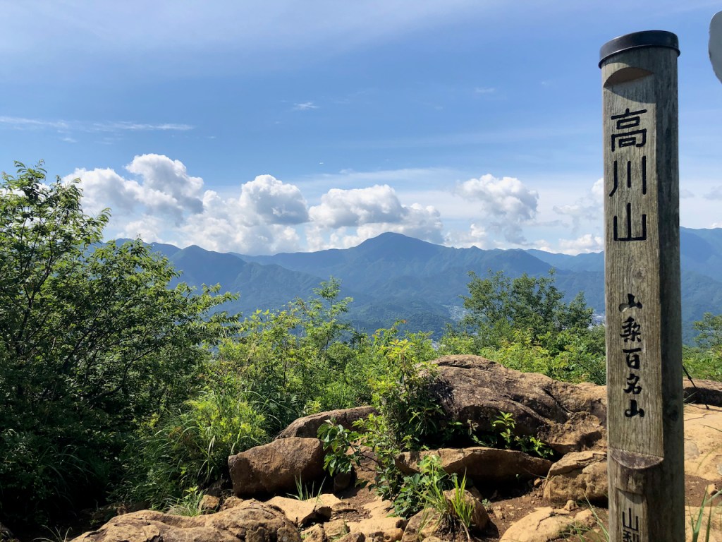
| Hoehe: | 970m |
| Anfahrt: | Kasei Station (Fujikyuko Line) / 禾生駅(富士急行線) |


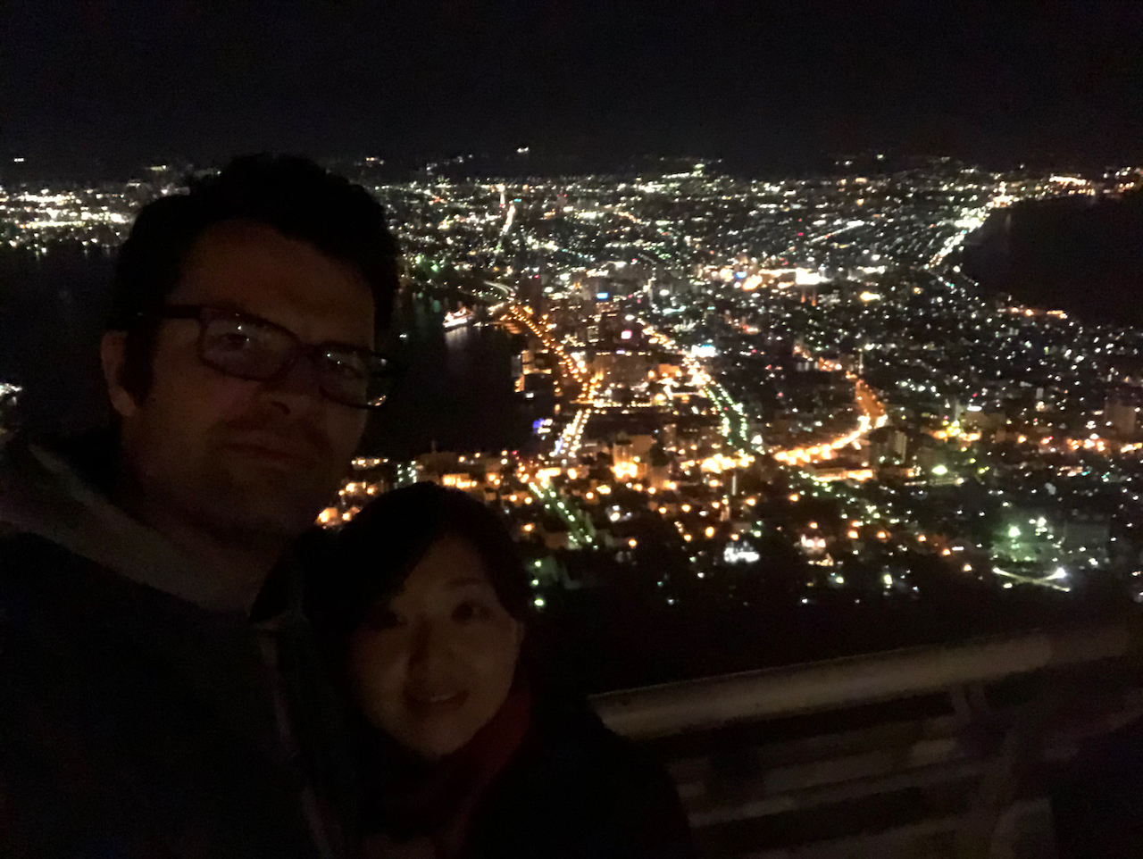
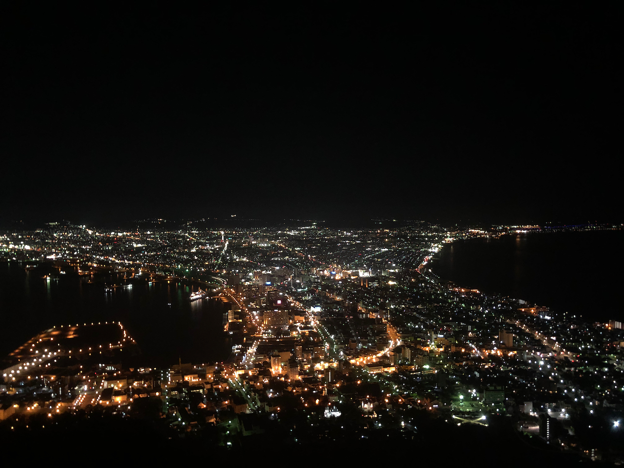
Eine der beruehmtesten Nachtsichten Japans.